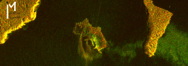
The following two images (and animation) shows the processed synthetic aperture radar (SAR) data acquired before and after the explosion of the Anak Krakatau volcano. The two SAR data were acquired on two different satellite passes (ascending and descending respectively).
Following the explosion a landslide into the ocean of part of the volcano and the island led to a tsunami (concentric waves around the island can be seen in the after image). The two images are followed by an animation and a video.


You must be logged in to post a comment.