
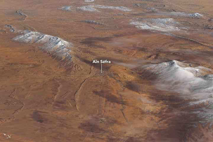
source: NASA Earth Observatory
via [NASA Earth Observatory]

source: NASA Earth Observatory
via [NASA Earth Observatory]

The following is an 20x downsampled global Shuttle Radar Topography Mission (SRTM) map made with Python and Basemap.
Full resolution can be found on wikimedia.
One can notice the depth of the ocean floor, on a global scale, ranges between -2000 and -6000 meters. In some regions though like the Pacific exceed this range and reach 11 kilometers below the sea surface. One such region is the deepest point on Earth, the Mariana trench as shown below followed by a map for a perspective of its location.

Location of the Mariana trench. Wikimedia commons.
Credits: The SRTM dataset used was provided by IFREMER.
An interface for interoperability between the Generic Mapping Tools (GMT), a tool used by geophysicists to create research-quality figures, and Matlab has recently been developed that allows GMT users to interact with Matlab and Matlab users to make use of GMT.
GMT wrappers are currently also being developed for the Python programming language, particularly to be used in the IPython/Jupyter notebook due to an initiative by Leonardo Uieda (and his professor Paul Wessel) whose Postdoc is being funded by the NSF. You can watch his talk at the SciPy 2017 conference below.
Some of the mentioned advantages to which I attest include:
To contribute: github.com/GenericMappingTools
Reference
Cook, T. (2017), A powerful new tool for research, Eos, 98, https://doi.org/10.1029/2017EO077489. Published on 17 July 2017.
One of the ways scientists are attempting to reduce greenhouse gases is to inject these gases into the ground. Specifically, they are testing injecting them, into basalt which is type of igneous rocks usually forming the first (rock) layer (sandwiched between the sedimentary & gabbro layers) in the oceanic crust basalt and in volcanic regions.
The above video features Iceland and its geothermal plants. Iceland is a heaven for geothermal energy as it lies along the Mid-Atlantic Ridge (MAR) (i.e. where Mid-Atlantic ocean floor is spreading apart in opposite directions forming a ridge). Most notably Iceland lies along the V-Shaped Reykjavik ridge (figure below; Google maps) which is part of the Norther MAR.


You must be logged in to post a comment.